Briar Hill Farm and the White Horse
Introduction
The photograph on this page of Briar Hill Farm and the White Horse by Martin Dawes as part of the Geograph project.
The Geograph project started in 2005 with the aim of publishing, organising and preserving representative images for every square kilometre of Great Britain, Ireland and the Isle of Man.

There are currently over 7.5m images from over 14,400 individuals and you can help contribute to the project by visiting https://www.geograph.org.uk
Briar Hill Farm and the White Horse
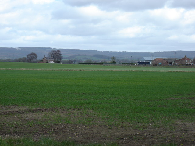
Image: © Martin Dawes Taken: 8 Apr 2009
High on the hill to the left can be seen the White Horse above the village of Kilburn. This flat area is the Vale of York, the hills being the edge of the North York Moors at Sutton Bank
Images are licensed for reuse under creativecommons.org/licenses/by-sa/2.0
Image Location
Latitude
54.156895
Longitude
-1.269231