The Paddock, Dawlish
Introduction
The photograph on this page of The Paddock, Dawlish by Derek Harper as part of the Geograph project.
The Geograph project started in 2005 with the aim of publishing, organising and preserving representative images for every square kilometre of Great Britain, Ireland and the Isle of Man.

There are currently over 7.5m images from over 14,400 individuals and you can help contribute to the project by visiting https://www.geograph.org.uk
The Paddock, Dawlish
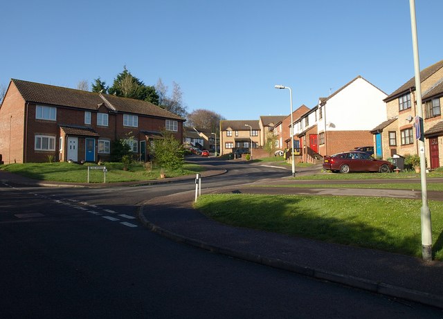
Image: © Derek Harper Taken: 7 Apr 2009
A modern residential cul de sac on Gatehouse Hill, just above the point where it becomes a footpath.
Images are licensed for reuse under creativecommons.org/licenses/by-sa/2.0
Image Location
Latitude
50.586868
Longitude
-3.469898