Langdon Lane
Introduction
The photograph on this page of Langdon Lane by Derek Harper as part of the Geograph project.
The Geograph project started in 2005 with the aim of publishing, organising and preserving representative images for every square kilometre of Great Britain, Ireland and the Isle of Man.

There are currently over 7.5m images from over 14,400 individuals and you can help contribute to the project by visiting https://www.geograph.org.uk
Langdon Lane
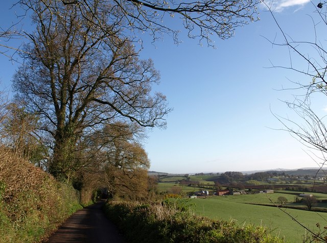
Image: © Derek Harper Taken: 7 Apr 2009
The lane runs along the east side of a ridge separating the Shutterton Brook and its tributaries from Dawlish Water. Here it descends towards Image
Images are licensed for reuse under creativecommons.org/licenses/by-sa/2.0
Image Location


Leaflet Map data © OpenStreetMap
Latitude
50.591374
Longitude
-3.483319