Enterprise Way, ng2
Introduction
The photograph on this page of Enterprise Way, ng2 by Alan Murray-Rust as part of the Geograph project.
The Geograph project started in 2005 with the aim of publishing, organising and preserving representative images for every square kilometre of Great Britain, Ireland and the Isle of Man.

There are currently over 7.5m images from over 14,400 individuals and you can help contribute to the project by visiting https://www.geograph.org.uk
Enterprise Way, ng2
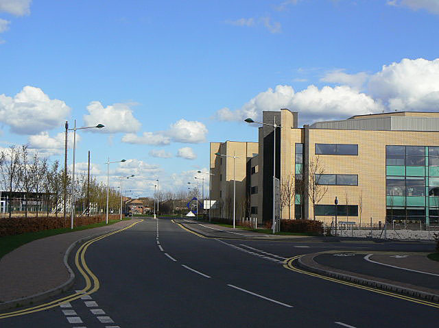
Image: © Alan Murray-Rust Taken: 7 Apr 2009
Looking east from The Triangle. The new tram route to Chilwell will come along here, with a stop on this section.
Images are licensed for reuse under creativecommons.org/licenses/by-sa/2.0
Image Location
Latitude
52.941855
Longitude
-1.164862