Layout for ng2 business park
Introduction
The photograph on this page of Layout for ng2 business park by Alan Murray-Rust as part of the Geograph project.
The Geograph project started in 2005 with the aim of publishing, organising and preserving representative images for every square kilometre of Great Britain, Ireland and the Isle of Man.

There are currently over 7.5m images from over 14,400 individuals and you can help contribute to the project by visiting https://www.geograph.org.uk
Layout for ng2 business park
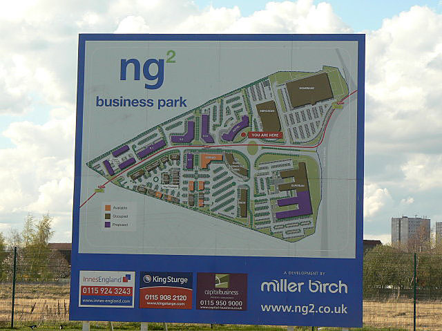
Image: © Alan Murray-Rust Taken: 7 Apr 2009
The map shows graphically how much of the land is taken up by parking spaces, despite provision having been made for excellent public transport in the form of the new tram route to Chilwell.
Images are licensed for reuse under creativecommons.org/licenses/by-sa/2.0
Image Location


Leaflet Map data © OpenStreetMap
Latitude
52.942029
Longitude
-1.163966