Beardsley Gardens
Introduction
The photograph on this page of Beardsley Gardens by Alan Murray-Rust as part of the Geograph project.
The Geograph project started in 2005 with the aim of publishing, organising and preserving representative images for every square kilometre of Great Britain, Ireland and the Isle of Man.

There are currently over 7.5m images from over 14,400 individuals and you can help contribute to the project by visiting https://www.geograph.org.uk
Beardsley Gardens
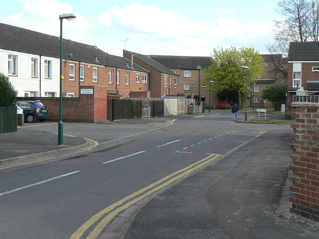
Image: © Alan Murray-Rust Taken: 7 Apr 2009
Typical cul-de-sac in the Meadows. This provides rear access for motor traffic, with main frontages facing onto a series of pedestrian ways linking to the main local facilities. Main distributor roads run round the periphery of the housing. This is generally known as Radburn layout, based on the original development in this style in Radburn, New Jersey (USA). See Wikipedia http://en.wikipedia.org/wiki/Radburn,_New_Jersey .
Images are licensed for reuse under creativecommons.org/licenses/by-sa/2.0
Image Location
Latitude
52.942432
Longitude
-1.157411