Kirkoswald Road, Maybole
Introduction
The photograph on this page of Kirkoswald Road, Maybole by Mary and Angus Hogg as part of the Geograph project.
The Geograph project started in 2005 with the aim of publishing, organising and preserving representative images for every square kilometre of Great Britain, Ireland and the Isle of Man.

There are currently over 7.5m images from over 14,400 individuals and you can help contribute to the project by visiting https://www.geograph.org.uk
Kirkoswald Road, Maybole
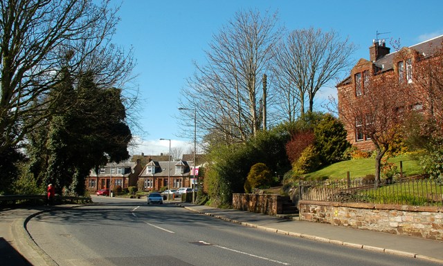
Image: © Mary and Angus Hogg Taken: 8 Apr 2009
Looking along Kirkoswald Road with its traditional red sandstone buildings. This is the A77 road connecting Glasgow and Stranraer, viewed at a quiet spell for traffic. It's not always so quiet - see Image taken on the same day looking into the town.
Images are licensed for reuse under creativecommons.org/licenses/by-sa/2.0
Image Location


Leaflet Map data © OpenStreetMap
Latitude
55.3516
Longitude
-4.688863