Winding footpath
Introduction
The photograph on this page of Winding footpath by Lis Burke as part of the Geograph project.
The Geograph project started in 2005 with the aim of publishing, organising and preserving representative images for every square kilometre of Great Britain, Ireland and the Isle of Man.

There are currently over 7.5m images from over 14,400 individuals and you can help contribute to the project by visiting https://www.geograph.org.uk
Winding footpath
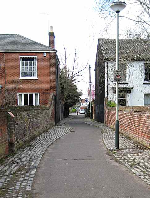
Image: © Lis Burke Taken: 7 Apr 2009
This passageway links Newmarket Road and Hanover Road. The stone edging to the footpath has deliberately been curved, even though the passageway is straight, with substantial brick walls on either side.
Images are licensed for reuse under creativecommons.org/licenses/by-sa/2.0
Image Location
Latitude
52.620429
Longitude
1.283408