Fegan's Home
Introduction
The photograph on this page of Fegan's Home by Malcolm Campbell as part of the Geograph project.
The Geograph project started in 2005 with the aim of publishing, organising and preserving representative images for every square kilometre of Great Britain, Ireland and the Isle of Man.

There are currently over 7.5m images from over 14,400 individuals and you can help contribute to the project by visiting https://www.geograph.org.uk
Fegan's Home
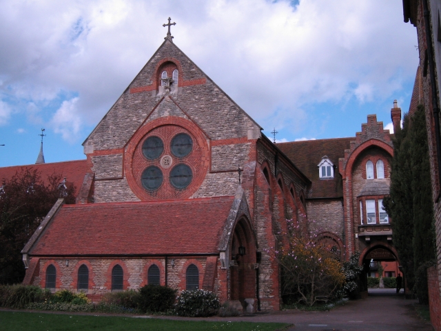
Image: © Malcolm Campbell Taken: 8 Apr 2009
The building still occasionally referred to as Fegan's Home has had a number of uses in its lifetime, having been a school (St Paul's School), a cigar factory, a boys' home, a Franciscan school, a branch of an international finance company, and now an Indian Restaurant. see http://www.mkheritage.co.uk/mkm/stonystratford/docs/tourframe.html
Images are licensed for reuse under creativecommons.org/licenses/by-sa/2.0
Image Location
Latitude
52.059397
Longitude
-0.856294