Bangor Library and Ward Park
Introduction
The photograph on this page of Bangor Library and Ward Park by Rossographer as part of the Geograph project.
The Geograph project started in 2005 with the aim of publishing, organising and preserving representative images for every square kilometre of Great Britain, Ireland and the Isle of Man.

There are currently over 7.5m images from over 14,400 individuals and you can help contribute to the project by visiting https://www.geograph.org.uk
Bangor Library and Ward Park
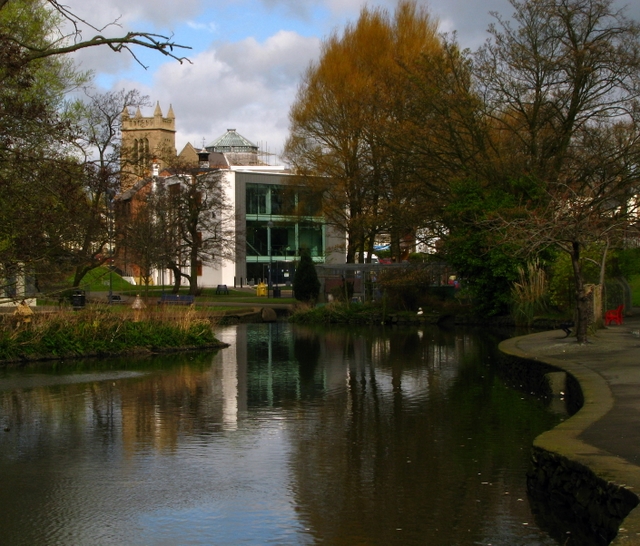
Image: © Rossographer Taken: 8 Apr 2009
Looking through Ward Park http://www.geograph.org.uk/search.php?i=5904511 towards Bangor Library http://www.geograph.org.uk/search.php?i=5904475 . Behind the library is Hamilton Road Presbyterian Church http://www.geograph.org.uk/search.php?i=5904507.
Images are licensed for reuse under creativecommons.org/licenses/by-sa/2.0
Image Location
Latitude
54.660883
Longitude
-5.660719