Queens Walk subway
Introduction
The photograph on this page of Queens Walk subway by Alan Murray-Rust as part of the Geograph project.
The Geograph project started in 2005 with the aim of publishing, organising and preserving representative images for every square kilometre of Great Britain, Ireland and the Isle of Man.

There are currently over 7.5m images from over 14,400 individuals and you can help contribute to the project by visiting https://www.geograph.org.uk
Queens Walk subway
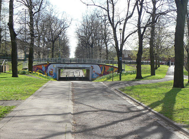
Image: © Alan Murray-Rust Taken: 7 Apr 2009
Queens Walk was formerly a main road, but is now a pedestrian way. The road which crosses it here, Robin Hood Way, was a completely new road constructed as part of the redevelopment of the Meadows area in the 1970s. The subway will disappear when the new tram route to Clifton is built along here.
Images are licensed for reuse under creativecommons.org/licenses/by-sa/2.0
Image Location
Latitude
52.941762
Longitude
-1.15162