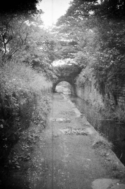
Rose Hill Tunnel, Lower Peak Forest Canal
Introduction
The photograph on this page of Rose Hill Tunnel, Lower Peak Forest Canal by David Marsden as part of the Geograph project.
The Geograph project started in 2005 with the aim of publishing, organising and preserving representative images for every square kilometre of Great Britain, Ireland and the Isle of Man.
There are currently over 7.5m images from over 14,400 individuals and you can help contribute to the project by visiting https://www.geograph.org.uk

Image: © David Marsden Taken: Unknown
Compare this photograph, taken in 1962, with Image When the canal was opened in 1798 there was a tunnel here. There were a series of problems culminating in the collapse of the roof at some time between 1849 and 1888. The decision was made to open up the tunnel and build the accommodation bridge that you can see. Even recently more work has been necessary and the gradient of the cutting walls has been reduced and the stone retaining walls reinforced with concrete. To this day the area is still known as Rose Hill Tunnel.

