Bayhead Street
Introduction
The photograph on this page of Bayhead Street by Stephen Branley as part of the Geograph project.
The Geograph project started in 2005 with the aim of publishing, organising and preserving representative images for every square kilometre of Great Britain, Ireland and the Isle of Man.

There are currently over 7.5m images from over 14,400 individuals and you can help contribute to the project by visiting https://www.geograph.org.uk
Bayhead Street
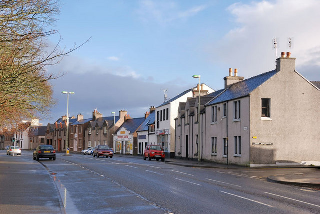
Image: © Stephen Branley Taken: 1 Mar 2009
This is the upper half of Bayhead Street, Stornoway. The road going off to the right is Mackenzie Street.
Images are licensed for reuse under creativecommons.org/licenses/by-sa/2.0
Image Location
Latitude
58.213263
Longitude
-6.386802