Fisherman's Path
Introduction
The photograph on this page of Fisherman's Path by Derek Harper as part of the Geograph project.
The Geograph project started in 2005 with the aim of publishing, organising and preserving representative images for every square kilometre of Great Britain, Ireland and the Isle of Man.

There are currently over 7.5m images from over 14,400 individuals and you can help contribute to the project by visiting https://www.geograph.org.uk
Fisherman's Path
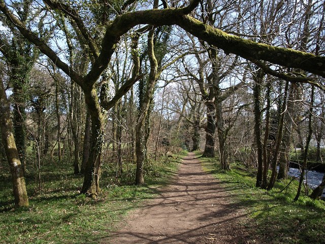
Image: © Derek Harper Taken: 5 Apr 2009
The Two Moors Way follows this path (also Chagford Footpath 20) close to the left bank of the River Teign, through Dogmarsh Wood.
Images are licensed for reuse under creativecommons.org/licenses/by-sa/2.0
Image Location
Latitude
50.689146
Longitude
-3.824483