Sign for ng2
Introduction
The photograph on this page of Sign for ng2 by Alan Murray-Rust as part of the Geograph project.
The Geograph project started in 2005 with the aim of publishing, organising and preserving representative images for every square kilometre of Great Britain, Ireland and the Isle of Man.

There are currently over 7.5m images from over 14,400 individuals and you can help contribute to the project by visiting https://www.geograph.org.uk
Sign for ng2
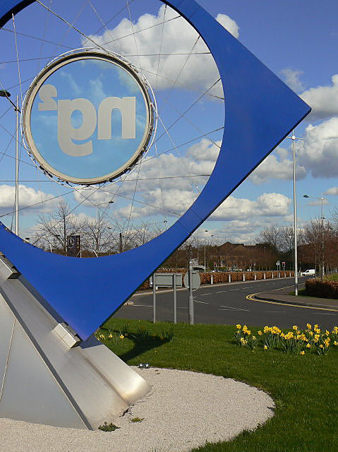
Image: © Alan Murray-Rust Taken: 7 Apr 2009
ng2 is a new business development area on the site of the old Royal Ordnance Factory.
Images are licensed for reuse under creativecommons.org/licenses/by-sa/2.0
Image Location


Leaflet Map data © OpenStreetMap
Latitude
52.941755
Longitude
-1.163376