Timberhonger Lane
Introduction
The photograph on this page of Timberhonger Lane by Mike Dodman as part of the Geograph project.
The Geograph project started in 2005 with the aim of publishing, organising and preserving representative images for every square kilometre of Great Britain, Ireland and the Isle of Man.

There are currently over 7.5m images from over 14,400 individuals and you can help contribute to the project by visiting https://www.geograph.org.uk
Timberhonger Lane
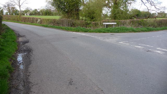
Image: © Mike Dodman Taken: 8 Apr 2009
The minor road leading off to the right is the delightfully named Timberhonger Lane, just west of the village of Upton Warren, between Bromsgrove and Droitwich Spa.
Images are licensed for reuse under creativecommons.org/licenses/by-sa/2.0
Image Location
Latitude
52.322278
Longitude
-2.119676