Pasture near Llanddewi-Brefi, Ceredigion
Introduction
The photograph on this page of Pasture near Llanddewi-Brefi, Ceredigion by Roger D Kidd as part of the Geograph project.
The Geograph project started in 2005 with the aim of publishing, organising and preserving representative images for every square kilometre of Great Britain, Ireland and the Isle of Man.

There are currently over 7.5m images from over 14,400 individuals and you can help contribute to the project by visiting https://www.geograph.org.uk
Pasture near Llanddewi-Brefi, Ceredigion
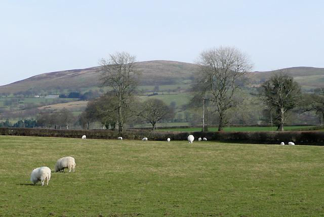
Image: © Roger D Kidd Taken: 17 Mar 2009
The farmer's lane (also used as a public path) from the road http://www.geograph.org.uk/photo/1241447 is behind the hedge crossing the fields. On the skyline, the edge of the Elenydd moorland dominates at Banc-y-Gwyngoed (440+ metres), about 290 metres (950 feet) above these pastures by the Afon Teifi.
Images are licensed for reuse under creativecommons.org/licenses/by-sa/2.0
Image Location
Latitude
52.186994
Longitude
-3.972519