Fox Lane, Tring
Introduction
The photograph on this page of Fox Lane, Tring by Chris Reynolds as part of the Geograph project.
The Geograph project started in 2005 with the aim of publishing, organising and preserving representative images for every square kilometre of Great Britain, Ireland and the Isle of Man.

There are currently over 7.5m images from over 14,400 individuals and you can help contribute to the project by visiting https://www.geograph.org.uk
Fox Lane, Tring
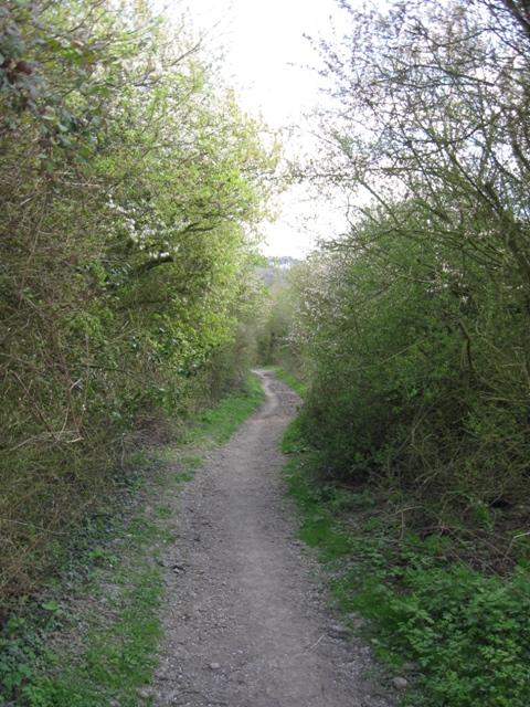
Image: © Chris Reynolds Taken: 7 Apr 2009
This is part of an old trackway which was used to define the county boundary a millennium ago, and which can be followed for miles. This was taken as the hawthorn was in flower and the hedgerow bushes were just beginning to show their leaves.
Images are licensed for reuse under creativecommons.org/licenses/by-sa/2.0
Image Location
Latitude
51.78466
Longitude
-0.679426