Meadows Way, Nottingham
Introduction
The photograph on this page of Meadows Way, Nottingham by David Lally as part of the Geograph project.
The Geograph project started in 2005 with the aim of publishing, organising and preserving representative images for every square kilometre of Great Britain, Ireland and the Isle of Man.

There are currently over 7.5m images from over 14,400 individuals and you can help contribute to the project by visiting https://www.geograph.org.uk
Meadows Way, Nottingham
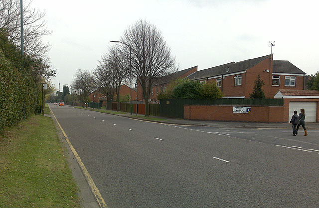
Image: © David Lally Taken: 6 Apr 2009
In the middle distance (after the third tree) a bus stop can just be made-out. This will become the site of the Meadows Way stop of the Phase II NET.
Images are licensed for reuse under creativecommons.org/licenses/by-sa/2.0
Image Location
Latitude
52.943602
Longitude
-1.155052