Pedestrian gap between Meadows Way and Queens Drive
Introduction
The photograph on this page of Pedestrian gap between Meadows Way and Queens Drive by David Lally as part of the Geograph project.
The Geograph project started in 2005 with the aim of publishing, organising and preserving representative images for every square kilometre of Great Britain, Ireland and the Isle of Man.

There are currently over 7.5m images from over 14,400 individuals and you can help contribute to the project by visiting https://www.geograph.org.uk
Pedestrian gap between Meadows Way and Queens Drive
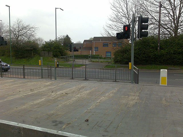
Image: © David Lally Taken: 6 Apr 2009
On 30th March 2009 the Phase II extension of the NET (Nottingham Express Transit) tram system was given the government go-ahead. At this point the Chilwell branch will leave the Meadows area where this pedestrian access is currently situated, and head down here http://www.geograph.org.uk/photo/1238750 onto the prestigious ng2 business park. The strange surface in the foreground is the back of a passing flat-bed truck.
Images are licensed for reuse under creativecommons.org/licenses/by-sa/2.0
Image Location


Leaflet Map data © OpenStreetMap
Latitude
52.94192
Longitude
-1.160069