Charity Farm, Cootham
Introduction
The photograph on this page of Charity Farm, Cootham by Simon Carey as part of the Geograph project.
The Geograph project started in 2005 with the aim of publishing, organising and preserving representative images for every square kilometre of Great Britain, Ireland and the Isle of Man.

There are currently over 7.5m images from over 14,400 individuals and you can help contribute to the project by visiting https://www.geograph.org.uk
Charity Farm, Cootham
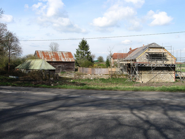
Image: © Simon Carey Taken: 5 Apr 2009
Built on the boundary of Cootham Common which once lined either side of the road to Pulborough. The farm house is behind the barn which is currently being converted into a residence.
Images are licensed for reuse under creativecommons.org/licenses/by-sa/2.0
Image Location
Latitude
50.920756
Longitude
-0.478098