Rackham Street
Introduction
The photograph on this page of Rackham Street by Simon Carey as part of the Geograph project.
The Geograph project started in 2005 with the aim of publishing, organising and preserving representative images for every square kilometre of Great Britain, Ireland and the Isle of Man.

There are currently over 7.5m images from over 14,400 individuals and you can help contribute to the project by visiting https://www.geograph.org.uk
Rackham Street
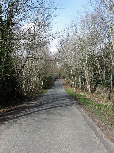
Image: © Simon Carey Taken: 5 Apr 2009
The section between Greatham Road and Sparrite Farm does not appear on the first OS map so was probably added sometime in the 19th century. Sparrite Common lies to the left and Northpark Wood to the right within the bounds of Parham Park whose stone boundary wall is just visible.
Images are licensed for reuse under creativecommons.org/licenses/by-sa/2.0
Image Location
Latitude
50.92683
Longitude
-0.502802