Arun Valley Line
Introduction
The photograph on this page of Arun Valley Line by Simon Carey as part of the Geograph project.
The Geograph project started in 2005 with the aim of publishing, organising and preserving representative images for every square kilometre of Great Britain, Ireland and the Isle of Man.

There are currently over 7.5m images from over 14,400 individuals and you can help contribute to the project by visiting https://www.geograph.org.uk
Arun Valley Line
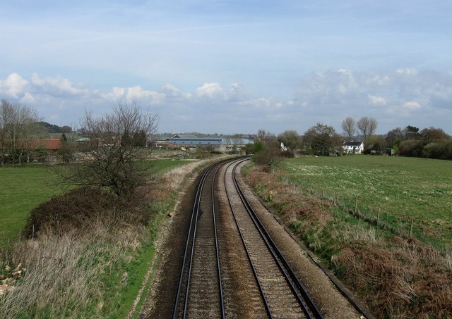
Image: © Simon Carey Taken: 5 Apr 2009
Viewed from the footbridge that was originally built to allow canal horses a route over the railway as the barges were 'legged' through Hardham Tunnel below. The curve in the line was also the site of a former railway junction which existed between 1863-1966 when the Midhurst branch was dismantled. The buildings centre left are part of the Hardham Water Supply Works.
Images are licensed for reuse under creativecommons.org/licenses/by-sa/2.0
Image Location
Latitude
50.947941
Longitude
-0.529314