Salisbury, almshouses
Introduction
The photograph on this page of Salisbury, almshouses by Mike Faherty as part of the Geograph project.
The Geograph project started in 2005 with the aim of publishing, organising and preserving representative images for every square kilometre of Great Britain, Ireland and the Isle of Man.

There are currently over 7.5m images from over 14,400 individuals and you can help contribute to the project by visiting https://www.geograph.org.uk
Salisbury, almshouses
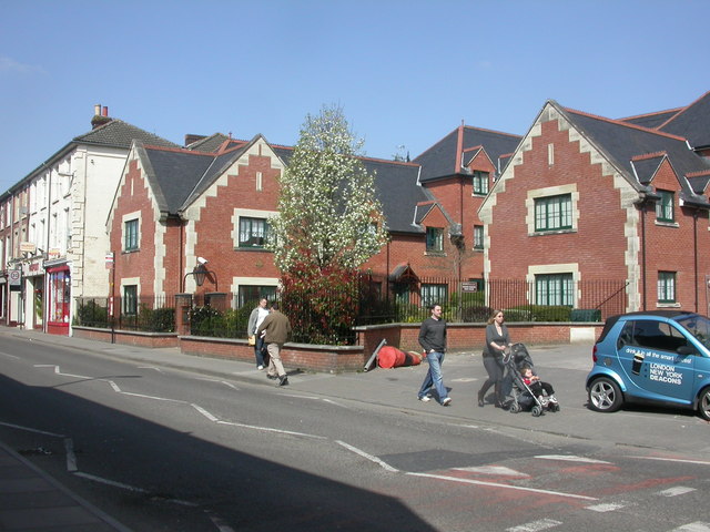
Image: © Mike Faherty Taken: 1 Apr 2009
Sarah Hayter's Almshouses in Fisherton Street; for poor unmarried women over the age of 50. http://www.charitycommission.gov.uk/ShowCharity/RegisterOfCharities/Subsidiaries.aspx?RegisteredCharityNumber=202110&SubsidiaryNumber=29
Images are licensed for reuse under creativecommons.org/licenses/by-sa/2.0
Image Location
Latitude
51.070514
Longitude
-1.802847