Farmland near Ffaldybrenin, Carmarthenshire
Introduction
The photograph on this page of Farmland near Ffaldybrenin, Carmarthenshire by Roger D Kidd as part of the Geograph project.
The Geograph project started in 2005 with the aim of publishing, organising and preserving representative images for every square kilometre of Great Britain, Ireland and the Isle of Man.

There are currently over 7.5m images from over 14,400 individuals and you can help contribute to the project by visiting https://www.geograph.org.uk
Farmland near Ffaldybrenin, Carmarthenshire
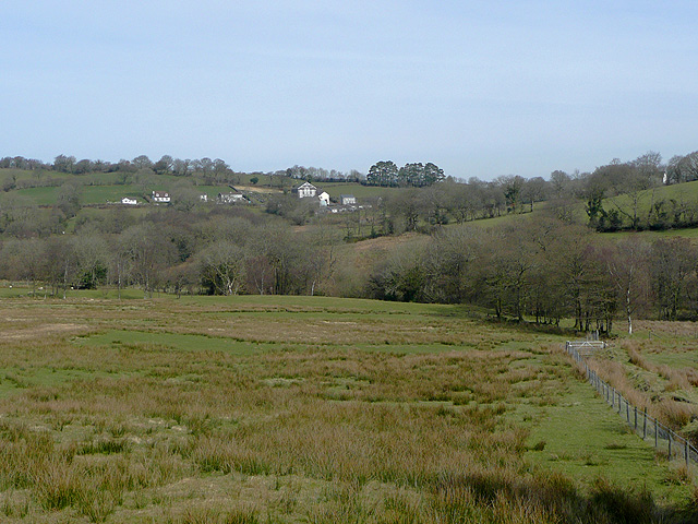
Image: © Roger D Kidd Taken: 17 Mar 2009
The public footpath crosses the field by the fence on the right. It crosses Camnant in the trees, and crosses further fields to Ffaldybrenin, the small hamlet near the skyline.
Images are licensed for reuse under creativecommons.org/licenses/by-sa/2.0
Image Location
Latitude
52.077276
Longitude
-3.994966