Boundary Stone, Ovenden
Introduction
The photograph on this page of Boundary Stone, Ovenden by Humphrey Bolton as part of the Geograph project.
The Geograph project started in 2005 with the aim of publishing, organising and preserving representative images for every square kilometre of Great Britain, Ireland and the Isle of Man.

There are currently over 7.5m images from over 14,400 individuals and you can help contribute to the project by visiting https://www.geograph.org.uk
Boundary Stone, Ovenden
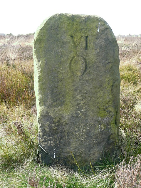
Image: © Humphrey Bolton Taken: 2 Apr 2009
This is one of the two out of a large number of boundary stones that were placed along the boundary between Ovenden and Warley sometime before 1850. This one is numbered VI on the Ovenden side, which might indicate that the stones were erected by Ovenden Township. The other one at Balkram Edge is numbered XIV (see Image).
Images are licensed for reuse under creativecommons.org/licenses/by-sa/2.0
Image Location
Latitude
53.72767
Longitude
-1.915087