Gateway to Moor End Farm
Introduction
The photograph on this page of Gateway to Moor End Farm by Derek Parkinson as part of the Geograph project.
The Geograph project started in 2005 with the aim of publishing, organising and preserving representative images for every square kilometre of Great Britain, Ireland and the Isle of Man.

There are currently over 7.5m images from over 14,400 individuals and you can help contribute to the project by visiting https://www.geograph.org.uk
Gateway to Moor End Farm
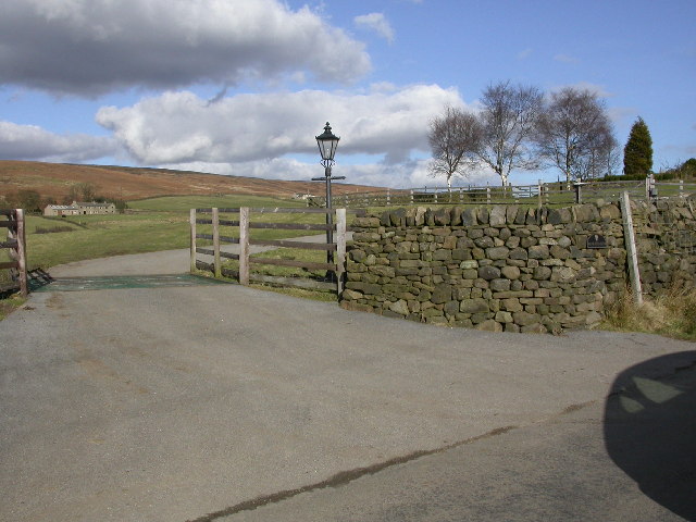
Image: © Derek Parkinson Taken: 18 Feb 2006
Looking North across the cattle grid at the entrance to Moor End Farm. Blackhill House is visible in the background with Langbar Moor beyond. Note the contrast between the colour of the vegetation on either side of the dividing dry-stone wall.
Images are licensed for reuse under creativecommons.org/licenses/by-sa/2.0
Image Location
Latitude
53.959483
Longitude
-1.841464