Cottage, level crossing, Par
Introduction
The photograph on this page of Cottage, level crossing, Par by Derek Harper as part of the Geograph project.
The Geograph project started in 2005 with the aim of publishing, organising and preserving representative images for every square kilometre of Great Britain, Ireland and the Isle of Man.

There are currently over 7.5m images from over 14,400 individuals and you can help contribute to the project by visiting https://www.geograph.org.uk
Cottage, level crossing, Par
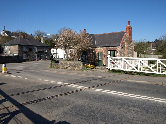
Image: © Derek Harper Taken: 2 Apr 2009
Another view of the level crossing shown in Image, with the Cornwall Minerals Railway line emerging from the china clay works, having passed under the bridge shown in Image The cottage was presumably used by the level crossing attendant. In the background is the Par Inn.
Images are licensed for reuse under creativecommons.org/licenses/by-sa/2.0
Image Location
Latitude
50.350129
Longitude
-4.707613