Cross Gates
Introduction
The photograph on this page of Cross Gates by Simon Carey as part of the Geograph project.
The Geograph project started in 2005 with the aim of publishing, organising and preserving representative images for every square kilometre of Great Britain, Ireland and the Isle of Man.

There are currently over 7.5m images from over 14,400 individuals and you can help contribute to the project by visiting https://www.geograph.org.uk
Cross Gates
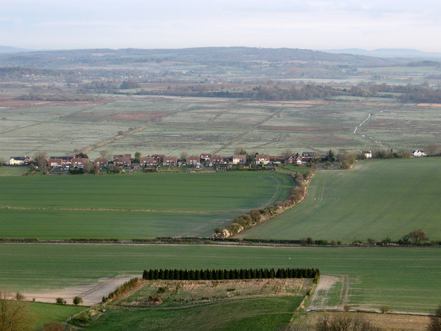
Image: © Simon Carey Taken: 5 Apr 2009
Small hamlet between Amberley and Rackham viewed from Amberley Mount. The field boundary running north-south marks the boundary of the parishes of Amberley and Parham and may account for the name of the hamlet perhaps being the gated entrance to one or other of the above named as the lane is the old main road from Storrington which was superseded by the B2139 in the late 18th/early 19th century. Beyond Cross Gates is Amberley Wild Brooks once an area of marshland now mostly recovered for agriculture.
Images are licensed for reuse under creativecommons.org/licenses/by-sa/2.0
Image Location
Latitude
50.911583
Longitude
-0.520076