Burdonshill, Wenvoe
Introduction
The photograph on this page of Burdonshill, Wenvoe by Mick Lobb as part of the Geograph project.
The Geograph project started in 2005 with the aim of publishing, organising and preserving representative images for every square kilometre of Great Britain, Ireland and the Isle of Man.

There are currently over 7.5m images from over 14,400 individuals and you can help contribute to the project by visiting https://www.geograph.org.uk
Burdonshill, Wenvoe
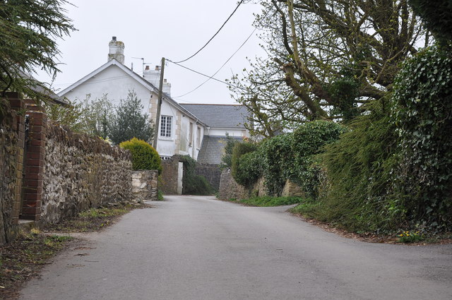
Image: © Mick Lobb Taken: 6 Apr 2009
Terminating in a farmyard the lane passes between a few houses before petering out to a farm track with public footpath that leads to Dyffryn.
Images are licensed for reuse under creativecommons.org/licenses/by-sa/2.0
Image Location
Latitude
51.439665
Longitude
-3.26921