Salmon Pastures Local Nature Reserve
Introduction
The photograph on this page of Salmon Pastures Local Nature Reserve by Martin Speck as part of the Geograph project.
The Geograph project started in 2005 with the aim of publishing, organising and preserving representative images for every square kilometre of Great Britain, Ireland and the Isle of Man.

There are currently over 7.5m images from over 14,400 individuals and you can help contribute to the project by visiting https://www.geograph.org.uk
Salmon Pastures Local Nature Reserve
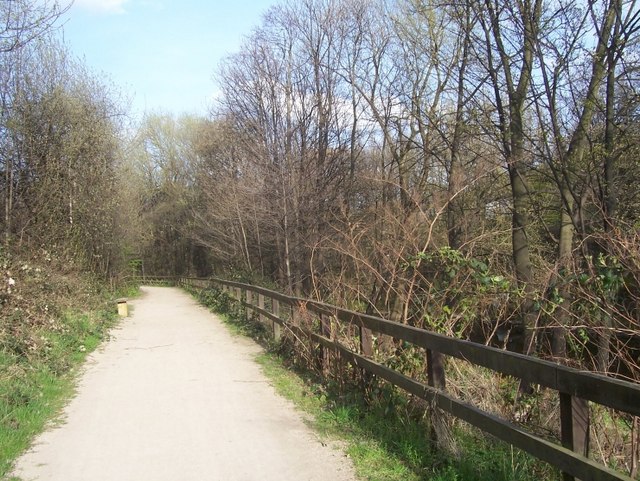
Image: © Martin Speck Taken: 5 Apr 2009
This footpath, part of the Five Weirs Walk runs between the Salmon Pastures Local Nature Reserve and the River Don. This area was once the slag heap of the Nunnery Coal Company's coke ovens. The acidic soil conditions have created an 'acid heath' environment which is maintained by periodically clearing invasive birch trees.
Images are licensed for reuse under creativecommons.org/licenses/by-sa/2.0
Image Location
Latitude
53.389331
Longitude
-1.441221