Horner village
Introduction
The photograph on this page of Horner village by Rod Allday as part of the Geograph project.
The Geograph project started in 2005 with the aim of publishing, organising and preserving representative images for every square kilometre of Great Britain, Ireland and the Isle of Man.

There are currently over 7.5m images from over 14,400 individuals and you can help contribute to the project by visiting https://www.geograph.org.uk
Horner village
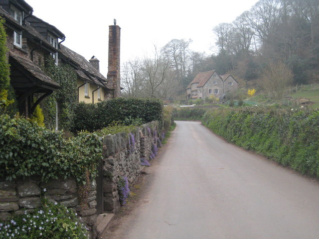
Image: © Rod Allday Taken: 2 Apr 2009
Looking towards Horner Mill on a misty April morning.
Images are licensed for reuse under creativecommons.org/licenses/by-sa/2.0
Image Location


Leaflet Map data © OpenStreetMap
Latitude
51.197158
Longitude
-3.578409