Reservoir (Disused)
Introduction
The photograph on this page of Reservoir (Disused) by Alexander P Kapp as part of the Geograph project.
The Geograph project started in 2005 with the aim of publishing, organising and preserving representative images for every square kilometre of Great Britain, Ireland and the Isle of Man.

There are currently over 7.5m images from over 14,400 individuals and you can help contribute to the project by visiting https://www.geograph.org.uk
Reservoir (Disused)
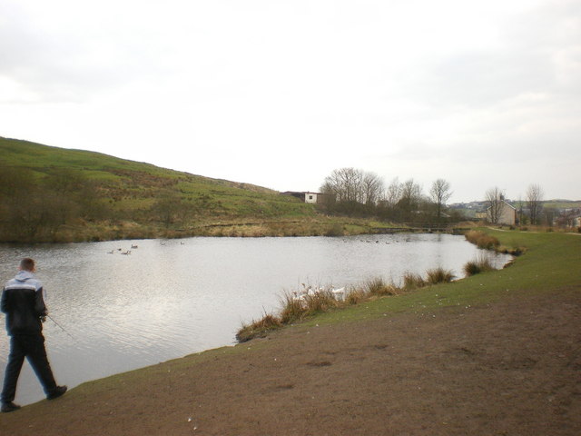
Image: © Alexander P Kapp Taken: 1 Apr 2009
Probably the service reservoir for Height Barn Mill, the mill has been demolished
Images are licensed for reuse under creativecommons.org/licenses/by-sa/2.0
Image Location
Latitude
53.690695
Longitude
-2.191069