Forest of Mercia - Brownshore Lane
Introduction
The photograph on this page of Forest of Mercia - Brownshore Lane by John M as part of the Geograph project.
The Geograph project started in 2005 with the aim of publishing, organising and preserving representative images for every square kilometre of Great Britain, Ireland and the Isle of Man.

There are currently over 7.5m images from over 14,400 individuals and you can help contribute to the project by visiting https://www.geograph.org.uk
Forest of Mercia - Brownshore Lane
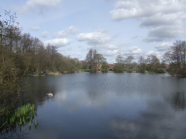
Image: © John M Taken: 5 Apr 2009
This land on the former Vernon Estate was given by the family to the people of Essington in 2000 in recognition of their connection with the village since 1547. The land was a previously used as a spoil tip for the nearby Essington Wood Colliery.
Images are licensed for reuse under creativecommons.org/licenses/by-sa/2.0
Image Location
Latitude
52.625648
Longitude
-2.054174