Footpath to the west of the drive to Syndale Park Motel
Introduction
The photograph on this page of Footpath to the west of the drive to Syndale Park Motel by pam fray as part of the Geograph project.
The Geograph project started in 2005 with the aim of publishing, organising and preserving representative images for every square kilometre of Great Britain, Ireland and the Isle of Man.

There are currently over 7.5m images from over 14,400 individuals and you can help contribute to the project by visiting https://www.geograph.org.uk
Footpath to the west of the drive to Syndale Park Motel
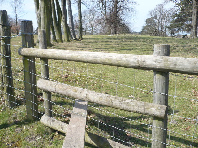
Image: © pam fray Taken: 5 Apr 2009
The original Syndale house, a 17th century neo-Palladian building, was destroyed by fire in 1961. It was built by Daniel Judd. Hence, Judd's Hill, on the estate, is named after him. Very little of the original house remains and the new building is a motel.
Images are licensed for reuse under creativecommons.org/licenses/by-sa/2.0
Image Location
Latitude
51.31371
Longitude
0.859525