Treadgold Street, Notting Hill
Introduction
The photograph on this page of Treadgold Street, Notting Hill by Stephen McKay as part of the Geograph project.
The Geograph project started in 2005 with the aim of publishing, organising and preserving representative images for every square kilometre of Great Britain, Ireland and the Isle of Man.

There are currently over 7.5m images from over 14,400 individuals and you can help contribute to the project by visiting https://www.geograph.org.uk
Treadgold Street, Notting Hill
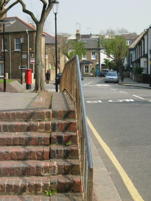
Image: © Stephen McKay Taken: 3 Apr 2009
Seen looking towards the junction with Grenfell Road. This area on the western fringes of Notting Hill, and southern fringe of North Kensington mixes traditional Victorian terraced houses with newer architecture from the 1970s, such as the large Lancaster West Estate.
Images are licensed for reuse under creativecommons.org/licenses/by-sa/2.0
Image Location
Latitude
51.512541
Longitude
-0.215339