Hillside by Cwm Pysgotwr Fawr, Ceredigion
Introduction
The photograph on this page of Hillside by Cwm Pysgotwr Fawr, Ceredigion by Roger D Kidd as part of the Geograph project.
The Geograph project started in 2005 with the aim of publishing, organising and preserving representative images for every square kilometre of Great Britain, Ireland and the Isle of Man.

There are currently over 7.5m images from over 14,400 individuals and you can help contribute to the project by visiting https://www.geograph.org.uk
Hillside by Cwm Pysgotwr Fawr, Ceredigion
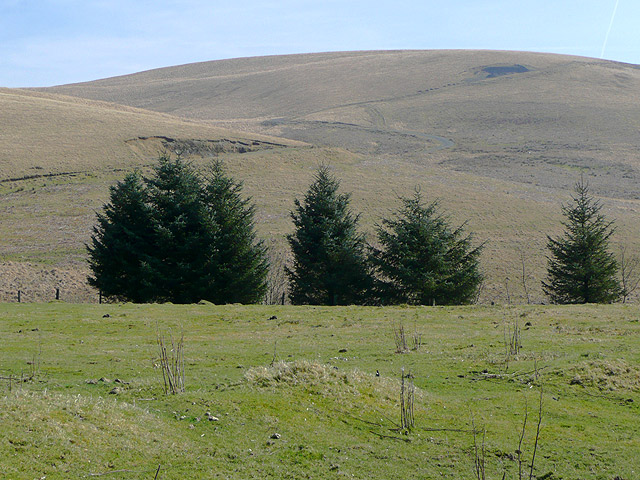
Image: © Roger D Kidd Taken: 18 Mar 2009
The bridleway goes through the enclosed grounds at Bryn Ambor, and continues in the direction faced by the camera. The road towards Rhandirmwyn can be seen climbing the hill. This road is not a public road, but since it was made (mid 1980s?) it seems that the line of the bridleway has not been used.
Images are licensed for reuse under creativecommons.org/licenses/by-sa/2.0
Image Location
Latitude
52.141625
Longitude
-3.8365