The A35 at Winterbourne Abbas
Introduction
The photograph on this page of The A35 at Winterbourne Abbas by Dr Neil Clifton as part of the Geograph project.
The Geograph project started in 2005 with the aim of publishing, organising and preserving representative images for every square kilometre of Great Britain, Ireland and the Isle of Man.

There are currently over 7.5m images from over 14,400 individuals and you can help contribute to the project by visiting https://www.geograph.org.uk
The A35 at Winterbourne Abbas
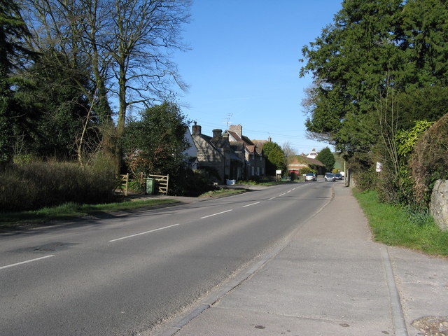
Image: © Dr Neil Clifton Taken: 30 Mar 2009
Looking west. The 'Coach and Horses' is in the middle distance on the left.
Images are licensed for reuse under creativecommons.org/licenses/by-sa/2.0
Image Location
Latitude
50.712861
Longitude
-2.543829