Wendover Arm: The Heron Stream
Introduction
The photograph on this page of Wendover Arm: The Heron Stream by Chris Reynolds as part of the Geograph project.
The Geograph project started in 2005 with the aim of publishing, organising and preserving representative images for every square kilometre of Great Britain, Ireland and the Isle of Man.

There are currently over 7.5m images from over 14,400 individuals and you can help contribute to the project by visiting https://www.geograph.org.uk
Wendover Arm: The Heron Stream
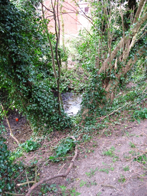
Image: © Chris Reynolds Taken: 25 Mar 2009
The water from the Heron Stream is trapped and fed into the canal – this ditch alongside the canal would appear to be all that is left below the water gauge. See Image
Images are licensed for reuse under creativecommons.org/licenses/by-sa/2.0
Image Location
Latitude
51.768003
Longitude
-0.742953