Wendover Arm: Looking towards the Winding Hole
Introduction
The photograph on this page of Wendover Arm: Looking towards the Winding Hole by Chris Reynolds as part of the Geograph project.
The Geograph project started in 2005 with the aim of publishing, organising and preserving representative images for every square kilometre of Great Britain, Ireland and the Isle of Man.

There are currently over 7.5m images from over 14,400 individuals and you can help contribute to the project by visiting https://www.geograph.org.uk
Wendover Arm: Looking towards the Winding Hole
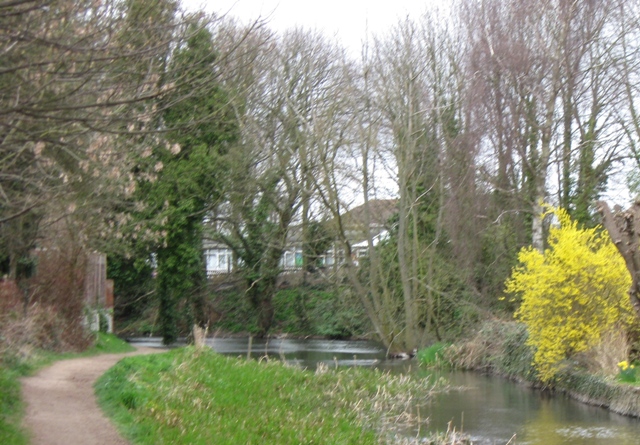
Image: © Chris Reynolds Taken: 25 Mar 2009
The Winding Hole was the end of navigation when the Wendover arm was in use, and allowed the barges to turn round. See Image
Images are licensed for reuse under creativecommons.org/licenses/by-sa/2.0
Image Location
Latitude
51.766729
Longitude
-0.741539