Monifieth skyline
Introduction
The photograph on this page of Monifieth skyline by Gwen and James Anderson as part of the Geograph project.
The Geograph project started in 2005 with the aim of publishing, organising and preserving representative images for every square kilometre of Great Britain, Ireland and the Isle of Man.

There are currently over 7.5m images from over 14,400 individuals and you can help contribute to the project by visiting https://www.geograph.org.uk
Monifieth skyline
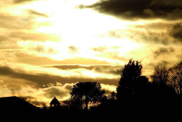
Image: © Gwen and James Anderson Taken: 30 Mar 2009
Against the low sun several distinctive features are silhouetted. The spire like protrusion is actually the top of a large house, while the tree in the centre is a distinctive monkey puzzle tree.
Images are licensed for reuse under creativecommons.org/licenses/by-sa/2.0
Image Location
Latitude
56.479741
Longitude
-2.819863