The new Newry bypass (36)
Introduction
The photograph on this page of The new Newry bypass (36) by Albert Bridge as part of the Geograph project.
The Geograph project started in 2005 with the aim of publishing, organising and preserving representative images for every square kilometre of Great Britain, Ireland and the Isle of Man.

There are currently over 7.5m images from over 14,400 individuals and you can help contribute to the project by visiting https://www.geograph.org.uk
The new Newry bypass (36)
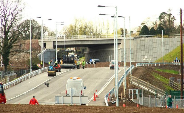
Image: © Albert Bridge Taken: 4 Apr 2009
See Image The slip road, to the Carnbane junction, seen from the canal towpath near Shepherds Way Image The heap of soil marks the new roundabout on the (hidden) Tanderagee Road. Continue to Image
Images are licensed for reuse under creativecommons.org/licenses/by-sa/2.0
Image Location
Latitude
54.203172
Longitude
-6.357972