Slough: Baylis Pond
Introduction
The photograph on this page of Slough: Baylis Pond by Nigel Cox as part of the Geograph project.
The Geograph project started in 2005 with the aim of publishing, organising and preserving representative images for every square kilometre of Great Britain, Ireland and the Isle of Man.

There are currently over 7.5m images from over 14,400 individuals and you can help contribute to the project by visiting https://www.geograph.org.uk
Slough: Baylis Pond
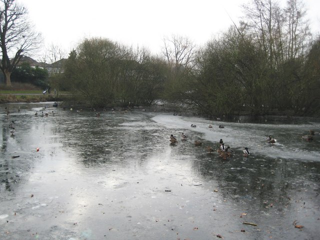
Image: © Nigel Cox Taken: 8 Jan 2009
Ducks struggle to cope with a frozen surface after a cold January night. Baylis Pond is in what used to be the grounds of Baylis House which now form a public park. The 1881 Edition of the Ordnance Survey mapping shows the pond with a far more formal rectangular shape. At some point the south-western corner has been filled in, all the other corners rounded off, and some bird-nesting islands introduced.
Images are licensed for reuse under creativecommons.org/licenses/by-sa/2.0
Image Location
Latitude
51.516209
Longitude
-0.605486