Road Junction near Crossford
Introduction
The photograph on this page of Road Junction near Crossford by G Laird as part of the Geograph project.
The Geograph project started in 2005 with the aim of publishing, organising and preserving representative images for every square kilometre of Great Britain, Ireland and the Isle of Man.

There are currently over 7.5m images from over 14,400 individuals and you can help contribute to the project by visiting https://www.geograph.org.uk
Road Junction near Crossford
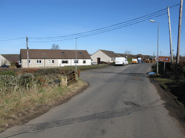
Image: © G Laird Taken: 29 Mar 2009
The road straight on leads to Crossford while the road branching off to the left leads to Tillietudlem and Craignethan Castle.
Images are licensed for reuse under creativecommons.org/licenses/by-sa/2.0
Image Location
Latitude
55.69258
Longitude
-3.875259