Bradley Arm Canal
Introduction
The photograph on this page of Bradley Arm Canal by John M as part of the Geograph project.
The Geograph project started in 2005 with the aim of publishing, organising and preserving representative images for every square kilometre of Great Britain, Ireland and the Isle of Man.

There are currently over 7.5m images from over 14,400 individuals and you can help contribute to the project by visiting https://www.geograph.org.uk
Bradley Arm Canal
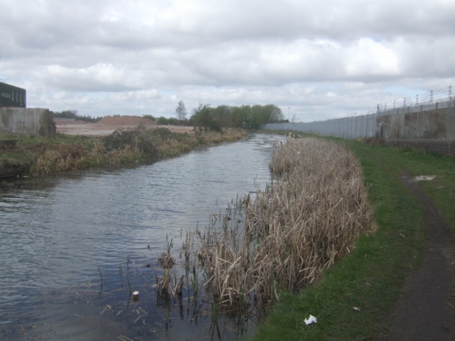
Image: © John M Taken: 4 Apr 2009
The canal leads from the 'New Main Line' to the British Waterways workshops. Once part of Brindley's 'Old Main Line' and latterly the 'Wednesbury Oak Loop'.
Images are licensed for reuse under creativecommons.org/licenses/by-sa/2.0
Image Location
Latitude
52.558758
Longitude
-2.066776