Cwm Pysgotwr Fawr at Bryn Ambor, Ceredigion
Introduction
The photograph on this page of Cwm Pysgotwr Fawr at Bryn Ambor, Ceredigion by Roger D Kidd as part of the Geograph project.
The Geograph project started in 2005 with the aim of publishing, organising and preserving representative images for every square kilometre of Great Britain, Ireland and the Isle of Man.

There are currently over 7.5m images from over 14,400 individuals and you can help contribute to the project by visiting https://www.geograph.org.uk
Cwm Pysgotwr Fawr at Bryn Ambor, Ceredigion
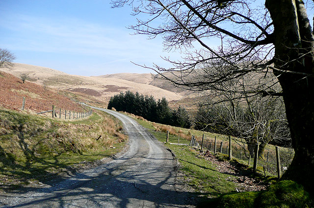
Image: © Roger D Kidd Taken: 18 Mar 2009
This roadway across the moors towards Rhandirmwyn is not designated as a public road, though often it is used in lieu of the original bridleway. "Difficulties" have been experienced when attempting to drive this route. Most of the unenclosed land is now "open access" hillside and moorland; however, visitors are not encouraged despite the presence of public footpaths and bridleways.
Images are licensed for reuse under creativecommons.org/licenses/by-sa/2.0
Image Location
Latitude
52.142542
Longitude
-3.835369