Field, Greenacres Farm, west of Purton
Introduction
The photograph on this page of Field, Greenacres Farm, west of Purton by Brian Robert Marshall as part of the Geograph project.
The Geograph project started in 2005 with the aim of publishing, organising and preserving representative images for every square kilometre of Great Britain, Ireland and the Isle of Man.

There are currently over 7.5m images from over 14,400 individuals and you can help contribute to the project by visiting https://www.geograph.org.uk
Field, Greenacres Farm, west of Purton
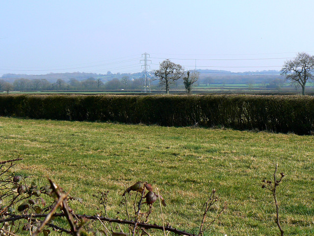
Image: © Brian Robert Marshall Taken: 2 Apr 2009
The field is rather long and narrow. The pylon is at SU05448741.
Images are licensed for reuse under creativecommons.org/licenses/by-sa/2.0
Image Location
Latitude
51.587411
Longitude
-1.926628