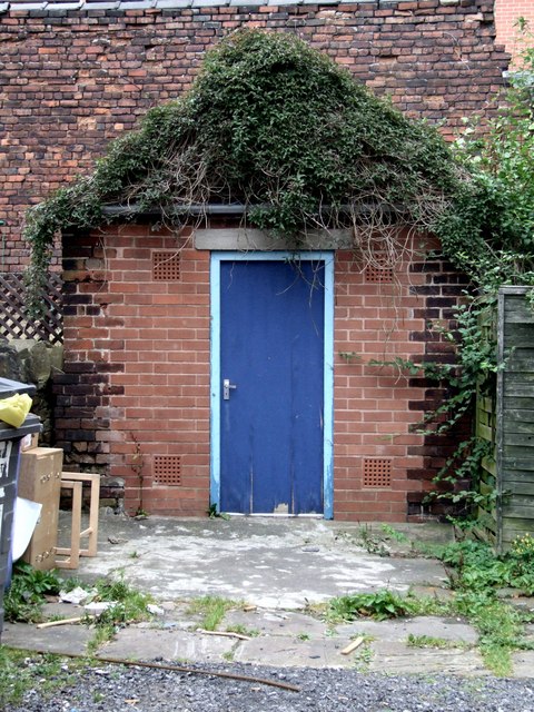
The Infield and Wickets, Crookes
Introduction
The photograph on this page of The Infield and Wickets, Crookes by Dave Hitchborne as part of the Geograph project.
The Geograph project started in 2005 with the aim of publishing, organising and preserving representative images for every square kilometre of Great Britain, Ireland and the Isle of Man.
There are currently over 7.5m images from over 14,400 individuals and you can help contribute to the project by visiting https://www.geograph.org.uk

Image: © Dave Hitchborne Taken: 26 Aug 2008
The infield of this famous cricket ground was the yard. The outfield was anywhere out the yard, especially over the rooftops. The boundary was the tram tracks. The wickets, now faded away, were chalk marks once drawn on the brickwork to the right of this former garage. The match was declared over at teatime, dark or when a tram cut the ball in half. If the latter happened early on, the game reverted to hide & seek, marbles, or tig. For a wider view of the ground http://www.geograph.org.uk/photo/1234094#form

