Damsbrook Lane Field
Introduction
The photograph on this page of Damsbrook Lane Field by Michael Patterson as part of the Geograph project.
The Geograph project started in 2005 with the aim of publishing, organising and preserving representative images for every square kilometre of Great Britain, Ireland and the Isle of Man.

There are currently over 7.5m images from over 14,400 individuals and you can help contribute to the project by visiting https://www.geograph.org.uk
Damsbrook Lane Field
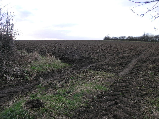
Image: © Michael Patterson Taken: 17 Feb 2006
As the close horizon suggests this field sits atop a hill which falls away very steeply into the distance.
Images are licensed for reuse under creativecommons.org/licenses/by-sa/2.0
Image Location


Leaflet Map data © OpenStreetMap
Latitude
53.265268
Longitude
-1.271322