Toftwood Road, Crookes
Introduction
The photograph on this page of Toftwood Road, Crookes by Dave Hitchborne as part of the Geograph project.
The Geograph project started in 2005 with the aim of publishing, organising and preserving representative images for every square kilometre of Great Britain, Ireland and the Isle of Man.

There are currently over 7.5m images from over 14,400 individuals and you can help contribute to the project by visiting https://www.geograph.org.uk
Toftwood Road, Crookes
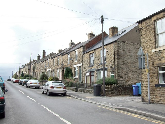
Image: © Dave Hitchborne Taken: 26 Aug 2008
The road faces westwards – From 2nd September 1967 to 4th January 1974, I lived in a house on the brow of the hill and after a late–shift on a cold windy winter’s night, walking around the corner from getting off a moderately warm bus around 00:30 – this road was like the road to the frozen north. The cold prevailing wind would freeze my face numb before I got anywhere near home. On early morning shifts, walking down the road at 03:40 to catch the staff bus, it was no better. In the late ‘50s and early ‘60s, when I was a young lad, I used to go to work on my bike. Home back then was through the entrance to the right. So after work I would belt off home as fast as I could and then turn left off the main road, then a quick sharp right and hurtle into the yard as fast as I could make it, day after day after day. One day there was a car parked at the entrance and I slammed into it, like an idiot. The bloke in the car just wound down the window and told me to be more careful!
Images are licensed for reuse under creativecommons.org/licenses/by-sa/2.0
Image Location
Latitude
53.386398
Longitude
-1.508106